Tour fit
Does this tour suit you?
Look at the route’s demands alongside your experience. Available hiking, climbing and via ferrata grades keep the detail visible.
 MONTENCE
The platform for your mountain tours
MONTENCE brings maps, route planning, mountain weather and safety information together with your personal tour archive. So you head out better prepared – and still know later where you have been.
Early access · Already have an account? Sign in


Summit · Wilder Kaiser · Tyrol
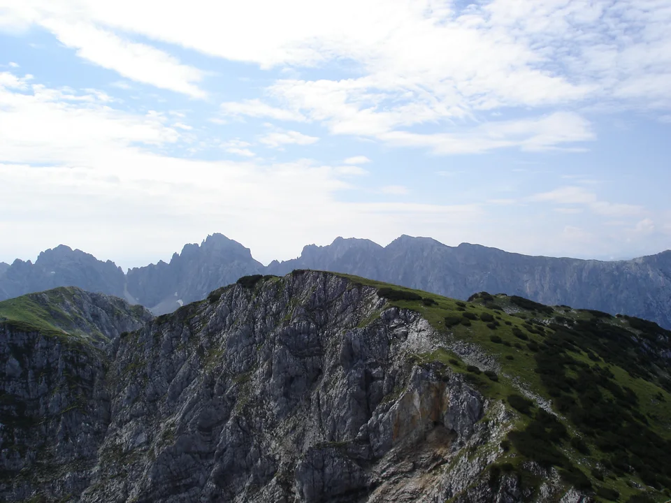
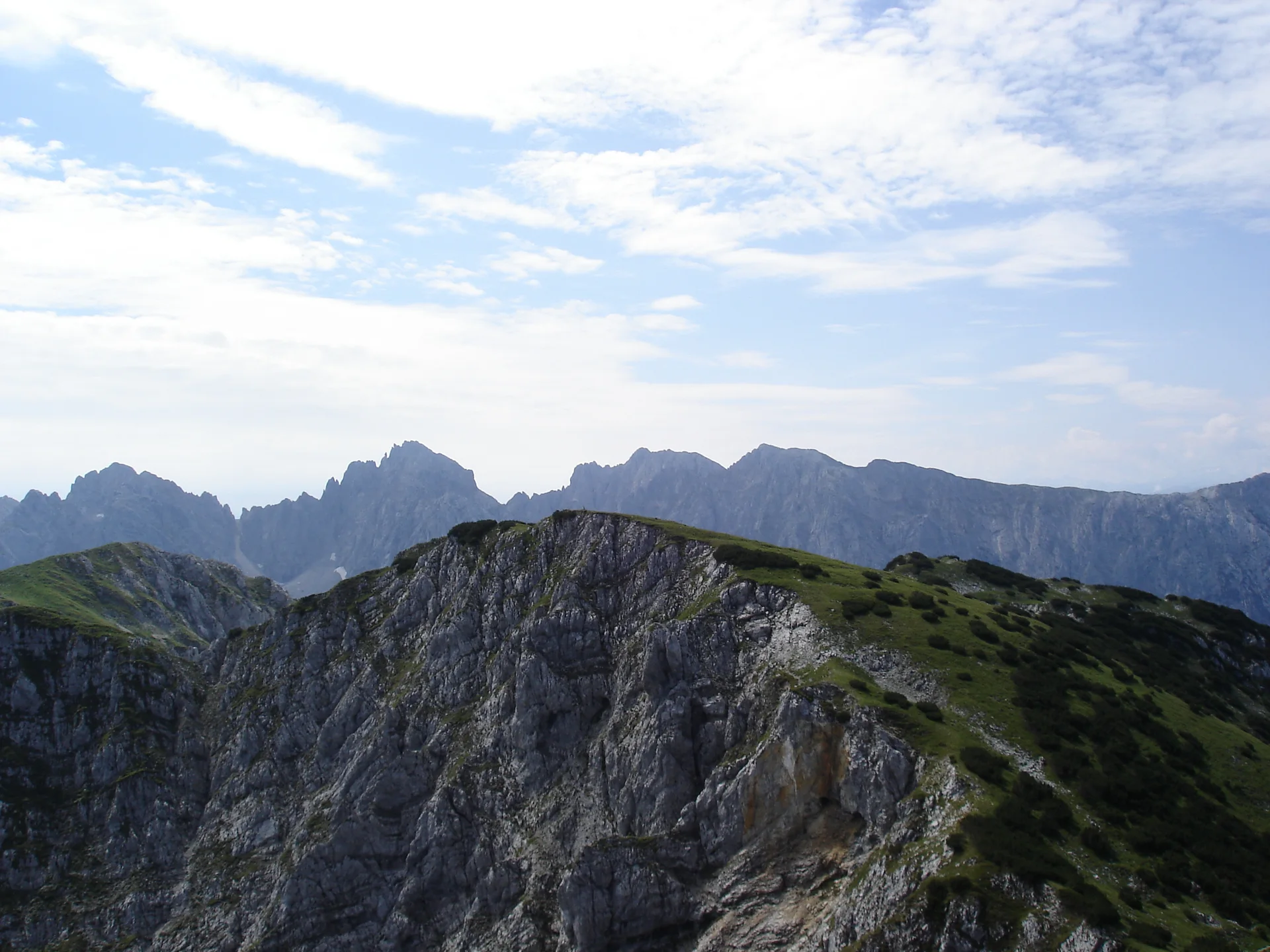
Ellmauer Halt 2,342 m
Already in MONTENCE
One platform
Instead of switching between a map app, a weather site, a hut directory and a photo folder, MONTENCE brings the important steps together.
Find peaks, tours, huts and via ferratas.
A route with waypoints, elevation profile and alternatives.
Weigh weather, route demands and your own experience.
Tour saved offline, return time shared.
Tours, photos and route videos in your BergChronik.
Mountain knowledge made clear in MONTENCE Learn.
Tour planning
Choose start, destination and stops directly on the map. MONTENCE calculates the route and shows distance, ascent and elevation profile together.
Maps, 3D & on the way
Switch between the 2D map and the 3D view and fly along your route in the tour flight. Tours you deliberately save offline remain available when the connection is weak.
Product overview
Peaks, huts and via ferratas sit directly on the map. Shown here for the Wilder Kaiser – with real data from OpenStreetMap and the hut finder of the Austrian Alpine Club.
Wilder Kaiser · Tyrol Saved
Ellmauer Halt
Demanding
The route calls for good preparation and safe conditions.
Weather along the route · Ellmauer Halt
Morning
Midday
Afternoon
Watch for afternoon thunderstorms
Rain radar
Counted automatically from the MONTENCE catalogues: tour catalogue for Austria, Switzerland, Germany, Italy; peaks, huts and via ferratas from OpenStreetMap, supplemented with the Austrian Alpine Club hut finder.
BergChronik
Every tour gets its place: route, elevation profile, photos and notes. Over the years it becomes your personal mountain archive – with a year in review and route videos.
Safety in the mountains
MONTENCE replaces neither experience nor the decision on site. But it helps you assess a tour realistically before you set off.
Planning information supports your judgement. It does not replace mountain skills, local conditions or a decision to turn back.
More about safetyTour fit
Look at the route’s demands alongside your experience. Available hiking, climbing and via ferrata grades keep the detail visible.
Weather & conditions
Check available forecasts for temperature, wind and precipitation along the route – and the rain radar.
Slope & technique
The slope display and marked via ferrata sections show which passages need extra attention.
Check-in
Share your plans and agree on a return time before heading into the mountains.
Community
Invite friends to a tour, coordinate in a shared tour room and share what you experienced as a story afterwards.
MONTENCE Learn
Short lessons on tour planning, ascent, weather, orientation, difficulty scales, via ferratas and emergencies – with learning progress and a certificate.
Open MONTENCE LearnLessons
For partners
MONTENCE is built for people who actually plan tours. For regions, organisations and providers this creates a setting where content arrives where decisions are made.
Who it is for
Show tours, huts and offers where people plan their next tour.
Regional information, tour knowledge and notices right inside planning.
Reach mountaineers while they prepare – without loud advertising.
Develop safety and learning content or pilot projects together.
MONTENCE is in early access. We are looking for partners who want to help shape the product in this phase.
Vision
Step by step, we are building MONTENCE into a digital platform around mountains, tours, safety, knowledge and community – carefully, privacy-friendly and close to the people who spend their time outdoors.
MONTENCE is in early access. Join the waiting list to request access. If you already have an account, sign in to open the app.
You can explore this overview without an account. Personal route planning, saved tours and tour fit checks require access.
Yes. Open MONTENCE in your mobile browser. Sign in online first, then deliberately save the tours you want available offline. Offline availability depends on what you have saved and your device.
No. This page does not request your location. You choose when to use location features in the app.
You can invite friends to a tour and coordinate in a shared tour room.
Early access
Request access now and plan your next tour with MONTENCE.